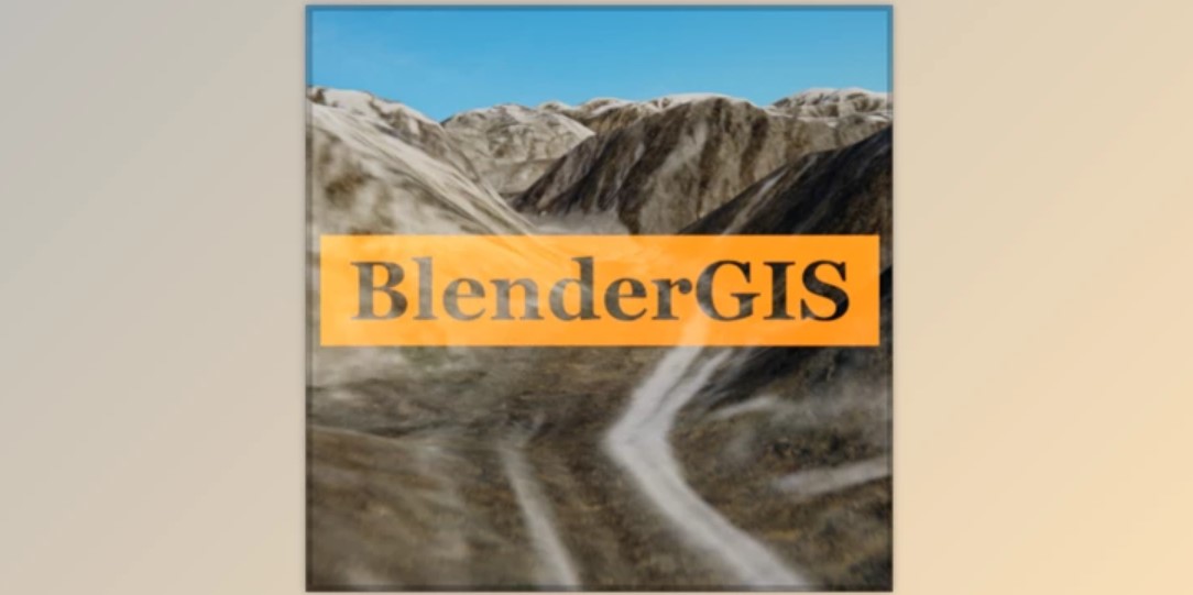
BlenderGIS: Seamless Geographic Data Integration for Blender
BlenderGIS is a powerful Blender addon that simplifies the process of importing maps and other geographic data into your 3D scenes. This versatile tool eliminates the need to switch between external GIS software and Blender.
Key Features of BlenderGIS:
Import Satellite Imagery: Bring real-world landscapes into Blender.
Elevation Data: Add accurate terrain and height maps.
Building Geometry: Import building outlines for urban scenes.
Streamlined Workflow: Select map areas directly within Blender.
Direct Integration: Work with geographic data seamlessly in your Blender projects.
Ideal For:
Environment Design: Create realistic landscapes based on real-world locations.
Urban Planning & Visualization Import cityscapes for architectural projects.
Data-Driven Art: Combine geographic information with artistic expression.
Download BlenderGIS today and add a new dimension to your Blender creations!
Subscribe to access unlimited downloads of themes, videos, graphics, plugins, and more premium assets for your creative needs.