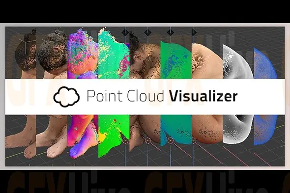
Point Cloud Visualizer v3.0.0.12 for Blender is a specialized tool designed to help users visualize and work with point cloud data directly within Blender's 3D environment. Point clouds are widely used in 3D scanning, LiDAR capture, photogrammetry, surveying, architectural documentation, geographic mapping, visual effects, and digital reconstruction, making efficient visualization an important part of modern 3D workflows.
The tool provides a practical workflow for bringing point-based datasets into Blender and displaying them as detailed 3D visual information. This makes it useful for artists, architects, VFX professionals, game developers, researchers, engineers, and visualization specialists working with scanned or spatial data.
Point Cloud Visualizer can be particularly valuable when working with large environments, scanned objects, architectural spaces, landscapes, industrial facilities, and real-world locations. By visualizing captured spatial information inside Blender, users can inspect scenes, study geometry, develop environments, and use point cloud references during modeling and design.
The workflow can support a variety of professional applications, including architectural visualization, construction documentation, environmental studies, digital surveying, cultural heritage projects, VFX production, game development, and 3D asset creation. Point cloud data can serve as an accurate reference when recreating real-world environments or developing detailed digital models.
For VFX and motion graphics artists, point cloud visualization can also be used to create experimental 3D compositions, abstract data-driven visuals, scanned environments, and artistic effects. The data can be combined with Blender's native modeling, lighting, camera, animation, and rendering capabilities to create customized visual results.
Point Cloud Visualizer is also useful for professionals who need to inspect spatial datasets before converting or incorporating them into traditional 3D modeling workflows. Viewing point-based information directly in Blender can make it easier to understand the structure and scale of captured environments.
Designed for Blender-based workflows, version 3.0.0.12 provides a dedicated solution for users working with point cloud visualization and spatial data. Its applications range from technical analysis and architectural documentation to creative 3D production and visual experimentation.
Whether you're working with LiDAR scans, photogrammetry data, architectural surveys, VFX environments, 3D scans, or experimental point-based artwork, Point Cloud Visualizer v3.0.0.12 provides a practical way to bring detailed spatial information into Blender and incorporate it into professional 3D projects.
Subscribe to access unlimited downloads of themes, videos, graphics, plugins, and more premium assets for your creative needs.
Published:
Aug 18, 2026 04:18 PM
Version:
v3.0.0.12
Category: