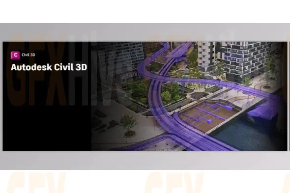
Autodesk AutoCAD Civil 3D 2026.1 is a comprehensive design and documentation solution tailored specifically for civil engineers working on complex infrastructure projects. Built within a dynamic 3D model-based environment, Civil 3D empowers professionals to streamline workflows, automate repetitive design tasks, and improve project coordination across multidisciplinary teams.
With full support for advanced modeling, road and site design, and integration with geospatial data, AutoCAD Civil 3D is engineered to help deliver higher-quality designs in less time—making it a go-to solution for civil engineering professionals in transportation, land development, water infrastructure, and environmental planning.
Key Features of AutoCAD Civil 3D 2026.1:
3D Model-Based Design: Enhance project accuracy and efficiency by working within a dynamic 3D environment that supports design-driven documentation.
Design Automation: Use visual scripting to automate complex and repetitive tasks, speeding up workflows and improving consistency across projects.
Enhanced Collaboration: Share data effortlessly between teams and disciplines, minimizing errors and improving coordination throughout project lifecycles.
Terrain Modeling: Build detailed digital terrain models for land analysis, flood simulation, and grading tasks.
Corridor Modeling: Create rich corridor models for roads, railways, and highways, allowing for precise control over alignments, profiles, and sections.
Intersection and Roundabout Design: Model complex road intersections with dynamic controls for 3-way, 4-way junctions, and roundabouts.
Drainage Design & Analysis: Efficiently design stormwater and sanitary sewer networks, complete with hydraulic and hydrology tools for flow analysis.
Pressure Networks: Design both horizontal and vertical pressure systems with accurate geometry, depth checks, and flexible layout tools.
Survey and Site Workflows: Import, analyze, and edit survey data seamlessly. Manage field-to-office workflows for improved data accuracy.
Plan Production Tools: Quickly generate construction-ready documentation with customizable plan/profile sheets and section views.
Interoperability: Import, export, and link files using common industry formats like IFC. Also supports integration with Esri ArcGIS and Bentley platforms.
Geotechnical Modeling: Integrate subsurface and soil data directly into your project for improved geotechnical design insights.
Bridge Design Integration: Collaborate more efficiently on complex bridge projects with cross-disciplinary support and shared modeling environments.
Materials & Quantity Takeoff: Calculate volumes and quantities directly from 3D models, comparing existing vs. proposed surfaces for accurate cost estimation.
System Requirements:
Processor:
Minimum: 2.5–2.9 GHz
Recommended: 3.0 GHz or faster
Memory:
Minimum: 16 GB RAM
Display Resolution:
Standard: 1920 x 1080 with True Color
High Res/4K: Up to 3840 x 2160 (requires compatible GPU)
Graphics Card:
Basic: 1 GB GPU with 29 GB/s bandwidth and DirectX 11
Recommended: 4 GB GPU with 106 GB/s bandwidth and DirectX 12 support
AutoCAD Civil 3D 2026.1 is a highly capable platform for civil infrastructure design, combining advanced modeling tools with automation, geospatial integration, and cross-discipline collaboration. From terrain analysis to detailed corridor design and hydraulic modeling, this release offers all the power and flexibility needed for modern civil engineering projects.
Subscribe to access unlimited downloads of themes, videos, graphics, plugins, and more premium assets for your creative needs.
Published:
Aug 13, 2025 10:51 AM
Version:
v2026.1
Category:
Tags: